
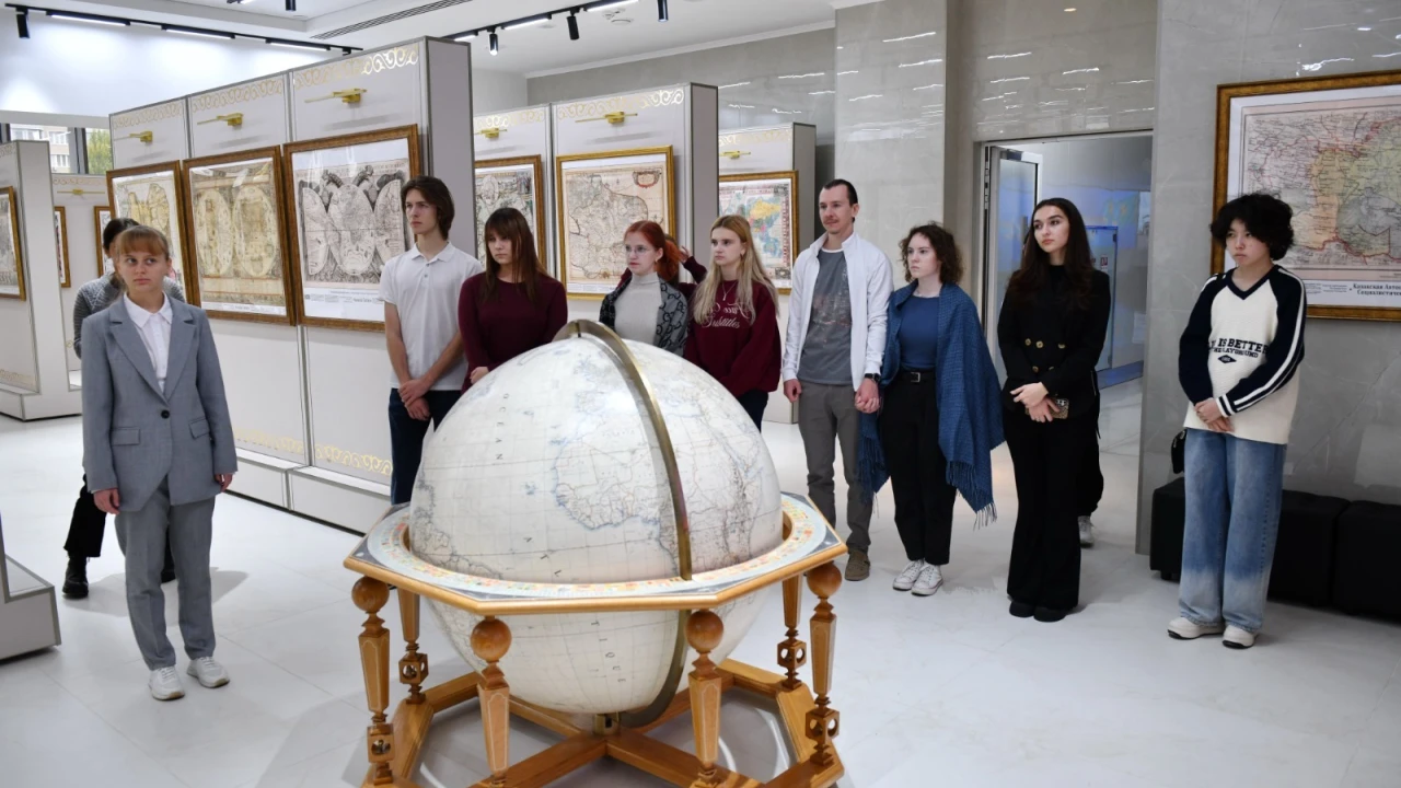

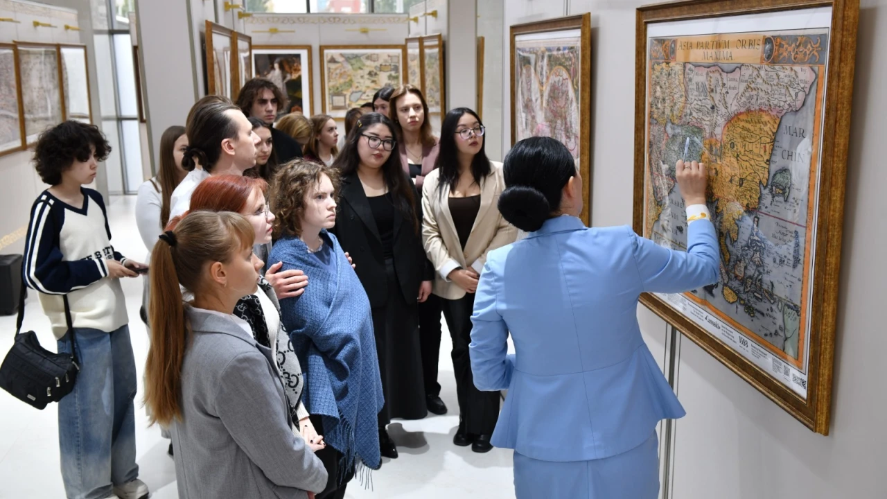

On the eve of the national holiday – Republic Day, a series of historical and cartographic tours of the Gallery of Historical Maps of Kazakhstan was held at the Presidential Center for students of the Kazakh branch of Lomonosov Moscow State University.
During the excursions, the students got acquainted with unique samples of Arab, European and American maps of the IX–XX centuries. Cartographic materials were considered as sources reflecting the development of Kazakhstan and the changing geographical representations of its territory in different eras. Special attention was paid to the peculiarities of reflecting the place of Kazakhstan in the historical, geographical and cultural space of various periods.
It is noteworthy that the opening of the gallery was timed to coincide with July 1, the day of the official entry into force of the new Constitution of the country.
The excursions allowed students to study the history of Kazakhstan more deeply through cartographic sources, compare maps from different eras, trace changes in ideas about the country's territory, and also understand how its perception and place in the historical and geographical space have changed. In addition, familiarization with maps helped to identify the peculiarities of the worldview of people from different eras and to understand how ideas about space were reflected in cartographic materials. Thus, the students considered the maps not only as a source of information, but also as historical evidence, allowing them to better understand the views and knowledge of people from the past.
The Gallery of Historical Maps of Kazakhstan is becoming an important cultural and educational platform that combines ideas about the space of past eras with modern historical knowledge. It promotes the preservation of the cartographic heritage of the country and its study, introduction into scientific and social circulation. The value of this heritage lies not only in the importance of maps as historical artifacts, but also in the opportunity to trace how Kazakhstan was represented in different eras, how geographical knowledge about the country was formed and the understanding of its past changed. Therefore, cartographic heritage is not only a source of information about the spatial appearance of past eras, but also an important intellectual value that helps preserve historical memory and pass it on to future generations.